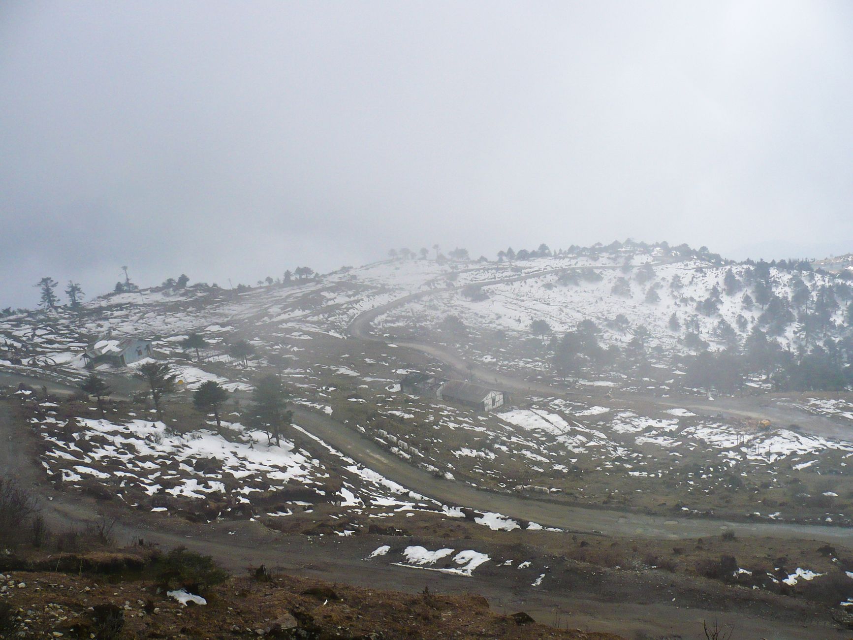
U.N. map Arunachal Aksai Chin highlights the complex territorial disputes between India and China. This new depiction has significant implications for diplomatic relations and regional security.
Understanding the U.N. Map
The recent release of the U.N. map depicting Arunachal and Aksai Chin has raised significant questions regarding territorial claims between India and China. This updated cartographic representation illustrates the complexities of the border disputes that have persisted for decades. The U.N. map serves as a visual acknowledgment of the ongoing tensions related to these regions, which are claimed by both nations.
Understanding the U.N. map is crucial for several reasons:
- Historical Context: The borders of Arunachal and Aksai Chin have been contested since the mid-20th century, leading to military confrontations and diplomatic standoffs.
- International Recognition: The U.N. map can influence international perceptions and support for either country’s claims, which may impact diplomatic relations and negotiations.
- Geopolitical Implications: The delineation of these territories affects regional stability, with potential ramifications for trade, security, and bilateral relations between India and China.
- Public Awareness: As the map gains visibility, it plays a role in shaping public opinion and awareness about the complexities of the territorial disputes.
In conclusion, the U.N. map of Arunachal and Aksai Chin is not just a simple representation of geography; it encapsulates a long-standing conflict that continues to evolve in the face of changing global dynamics.
Historical Context of Arunachal and Aksai Chin
The regions of Arunachal Pradesh and Aksai Chin have long been subjects of contention between India and China, rooted in historical claims and geopolitical strategies. The recent U.N. map illustrating Arunachal and Aksai Chin highlights these ongoing disputes, which date back to colonial times.
Historically, Arunachal Pradesh was part of British India, and its borders were not clearly defined, leading to conflicting interpretations. The McMahon Line, drawn in 1914 during the Simla Conference, served as a boundary for British India and was recognized by India but not by China. This disagreement has been a focal point of the India-China border conflict.
Aksai Chin, on the other hand, is a strategically significant area that China claims as part of its Xinjiang region, while India views it as a part of Ladakh. The 1962 Sino-Indian War further exacerbated these tensions, resulting in China gaining control over Aksai Chin.
The significance of the U.N. map lies in its potential to influence international perceptions and diplomatic relations. By officially recognizing these regions as disputed territories, the map may impact negotiations and strategic alliances in the region.
As global attention turns towards these contested areas, the U.N. map of Arunachal and Aksai Chin will likely continue to shape discussions on sovereignty, territorial integrity, and regional stability.
Impact on India-China Relations
The recent release of the U.N. map highlighting Arunachal Pradesh and Aksai Chin has stirred significant reactions in the realm of international relations, particularly between India and China. This depiction underscores the ongoing territorial disputes that have long characterized the relationship between these two nations.
India views the U.N. map’s representation of Arunachal Pradesh as a reaffirmation of its sovereignty over the region, which it considers an integral part of its territory. In contrast, China claims this area as part of its own territory, further complicating diplomatic relations. The differing interpretations of the U.N. map may lead to heightened tensions, as both nations may feel compelled to reinforce their positions.
Moreover, the U.N. map’s portrayal of Aksai Chin could escalate military posturing along the Line of Actual Control (LAC). The strategic significance of Aksai Chin, serving as a vital link between Tibet and Xinjiang, makes it a critical area for China, which may not easily concede its claims in the face of international scrutiny.
In light of these developments, the impact on India-China relations could be profound. Analysts suggest that the U.N. map has the potential to either catalyze dialogue or deepen mistrust, depending on how both nations choose to navigate this sensitive issue.
Global Reactions to the New Map
The release of the new U.N. map depicting Arunachal Pradesh and Aksai Chin has triggered a wave of global reactions, reflecting the complexities of territorial disputes in the region.
Many nations have expressed concern over the potential escalation of tensions between India and China, particularly as both countries have historically held firm claims over these territories. The U.N. map, which marks Arunachal and Aksai Chin as areas of contention, has prompted discussions on international law and the role of global organizations in mediating such disputes.
Countries in the Asia-Pacific region have been closely monitoring the situation. Some have voiced support for India’s stance, emphasizing the importance of sovereignty and territorial integrity. Others have taken a more cautious approach, advocating for dialogue and diplomatic solutions to avert conflict.
In the West, analysts have highlighted the implications of the U.N. map for broader geopolitical dynamics, suggesting that it could influence alliances and partnerships. The U.S. and its allies may need to recalibrate their strategies in light of the changing landscape, especially considering China’s growing assertiveness.
International organizations have also weighed in, urging both nations to engage in peaceful negotiations, while underscoring the necessity of respecting the U.N. framework in addressing territorial disputes like that of Arunachal and Aksai Chin.
Potential for Conflict
The release of the U.N. map depicting Arunachal Pradesh and Aksai Chin as contested territories has raised serious concerns about potential conflict in the region. Both India and China have long-standing claims over these areas, and the new map could further complicate diplomatic relations.
Several factors contribute to the increased potential for conflict:
- Increased Military Presence: Both nations have ramped up their military deployments along the Line of Actual Control (LAC) in recent years, heightening tensions and the risk of skirmishes.
- Nationalism: National pride plays a significant role in both countries, with governments leveraging territorial claims to bolster domestic support. This can lead to aggressive posturing and unwillingness to compromise.
- Infrastructure Development: China’s infrastructure investments in Aksai Chin and India’s road-building efforts in Arunachal Pradesh have the potential to provoke military confrontations, especially if both sides perceive these developments as encroachments.
- International Involvement: The U.N. map may invite more international scrutiny and involvement, which could exacerbate tensions between India and China if external powers take sides.
In conclusion, the U.N. map of Arunachal and Aksai Chin not only highlights existing territorial disputes but also serves as a flashpoint for potential conflict, necessitating careful diplomatic handling from both nations.
Diplomatic Solutions
The recent U.N. map depicting Arunachal Pradesh and Aksai Chin has prompted a renewed call for diplomatic solutions between India and China. With both nations asserting their claims over these disputed territories, the international community is increasingly advocating for dialogue as a means to address the underlying tensions.
One potential avenue for diplomacy is through multilateral discussions involving other stakeholders in the region. Countries such as Bhutan and Nepal, which have their own border disputes with China, might play a role in facilitating peace talks. Furthermore, organizations like the Association of Southeast Asian Nations (ASEAN) could provide a platform for broader discussions regarding territorial integrity and regional security.
Additionally, both India and China have previously engaged in negotiations over border disputes, such as the 2005 agreement that aimed to establish a framework for resolving differences. Building on such frameworks could enhance trust and reduce the risk of conflict arising from misunderstandings related to the U.N. map.
However, it is crucial that any diplomatic efforts consider the sentiments of the local populations residing in these contested regions. Engaging communities in dialogue could foster a sense of ownership over the negotiations, making it more likely that any agreements reached will be sustainable. Ultimately, the U.N. map of Arunachal and Aksai Chin may serve as a catalyst for renewed efforts towards a peaceful resolution.
Future of Territorial Claims
The recent U.N. map depicting Arunachal and Aksai Chin has significant implications for the future of territorial claims in the region. As these areas continue to be contested between India and China, the map serves as a reminder of the ongoing disputes and the complexities involved in resolving them.
Both nations have long-standing positions regarding their territorial claims, and the U.N. map may further complicate the dialogue. The delineation of borders as shown in the map could lead to increased tensions, as both India and China may assert their claims more vigorously in response to the perceived legitimacy granted by the U.N.
In light of the U.N. map Arunachal Aksai Chin, stakeholders must consider several factors:
- International Law: The map’s implications on the principles of international law may necessitate a reevaluation of bilateral agreements.
- Local Sentiments: The perceptions of the local populations in these regions could influence future negotiations.
- Third-Party Involvement: The potential for increased involvement from other nations could alter the dynamics of the territorial dispute.
Ultimately, the future of territorial claims in Arunachal and Aksai Chin will depend on diplomatic efforts, mutual understanding, and the willingness of both countries to engage in constructive dialogue.
The U.N. map Arunachal Aksai Chin has sparked significant debate among international relations experts regarding its implications for regional stability. Analysts suggest that the U.N. map Arunachal Aksai Chin could influence diplomatic negotiations between India and China in the coming years.
Photo by Balaji Srinivasan on Pexels
Read the original
Related reading
- Marathon Good for Knees? The Real Truth Revealed
- Best Instant Funding Prop Firms – A Guide to Choosing the Right Proprietary Trading Firm
- UEFA – Bringing Fans Closer to European Football
About the Author